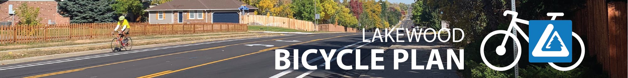
Bicycle Plan Update

Share Bicycle Plan Update on Facebook Share Bicycle Plan Update on Twitter Share Bicycle Plan Update on Linkedin Email Bicycle Plan Update link

The Bicycle Plan aims to provide a framework for a high-quality, safe, convenient, continuous and accessible bicycle transportation system for people of all ages and abilities while promoting bicycling as a mode of transportation that reduces carbon emissions and improves the health of community members. The plan is used by city planners and transportation staff to guide the placement and design of bike facilities during ongoing processes including development, annual street resurfacing and other capital projects, as well as to inform decisions related to pursuing grant funding for bicycle projects.

Why is the Bicycle Plan being updated?

Lakewood’s current Bicycle Plan was adopted in 2018. In the six years since the plan was adopted, the active transportation landscape has changed significantly as bicycling infrastructure expands throughout the region, and national guidance is increasingly available for newer designs such as separated bike lanes. The project team will explore integrating this updated national guidance into the new plan as well as developing a process for adding buffered and separated bike lanes to the city’s proposed network.

Other goals of the update include revisiting 2018 recommendations with the public; analyzing the connectivity of Lakewood’s bicycle network to key destinations and neighboring municipalities; refining the quality and consistency of facilities shown on city bike route maps; conducting spatial and crash analysis to inform the prioritization of future projects; and providing Lakewood residents with an opportunity to evaluate staff recommendations to ensure that they are in line with the wants and needs of the community.

How can you get involved?

Community involvement is a key part of the Bicycle Plan, so we want to hear from you! Here are a few ways to share your input:

  • Visit this page frequently for updates and new ways to engage.

  • Subscribe to the project and share it with your neighbors, friends, and colleagues.

  • Check out the online survey and mapping tool on this page through June 30.

  • Find us at Lakewood events! Our next event is a pop-up table on Bike to Work Day in June. You can find details for all in-person opportunities as their dates approach by visiting Project Updates below or the Project Timeline to the right.

Ask a Question

Please submit any questions you may have about the Bicycle Plan update process or the Bicycle Plan in general, and the project team will respond within three business days. Questions and answers about this project may be visible to the public.  

For general questions and concerns about bicycling in Lakewood, please submit a service request via Request Lakewood. 

loader image
Didn't receive confirmation?
Seems like you are already registered, please provide the password. Forgot your password? Create a new one now.
  • Share Is the planning commission being included on this? I think that zoning and land use heavily impacts whether people are willing to use bikes as transportation. If we continue separating uses, then that means people need to travel far distances to meet their needs. Mixed use zoning, walking, and biking all go hand in hand and lead to more environmentally friendly, fiscally sustainable, and safe neighborhoods. on Facebook Share Is the planning commission being included on this? I think that zoning and land use heavily impacts whether people are willing to use bikes as transportation. If we continue separating uses, then that means people need to travel far distances to meet their needs. Mixed use zoning, walking, and biking all go hand in hand and lead to more environmentally friendly, fiscally sustainable, and safe neighborhoods. on Twitter Share Is the planning commission being included on this? I think that zoning and land use heavily impacts whether people are willing to use bikes as transportation. If we continue separating uses, then that means people need to travel far distances to meet their needs. Mixed use zoning, walking, and biking all go hand in hand and lead to more environmentally friendly, fiscally sustainable, and safe neighborhoods. on Linkedin Email Is the planning commission being included on this? I think that zoning and land use heavily impacts whether people are willing to use bikes as transportation. If we continue separating uses, then that means people need to travel far distances to meet their needs. Mixed use zoning, walking, and biking all go hand in hand and lead to more environmentally friendly, fiscally sustainable, and safe neighborhoods. link

    Is the planning commission being included on this? I think that zoning and land use heavily impacts whether people are willing to use bikes as transportation. If we continue separating uses, then that means people need to travel far distances to meet their needs. Mixed use zoning, walking, and biking all go hand in hand and lead to more environmentally friendly, fiscally sustainable, and safe neighborhoods.

    zbholman asked 9 days ago

    Thanks for the insightful question. At this stage in the project the Planning Commission is not formally involved, but we will take that into consideration. The project team does include Lakewood planning staff who are involved in matters related to zoning and land use, so the interaction between those and bikeability is not being disregarded.

    - Jenny

  • Share Regarding phase 2 of the project, how will bike counts be conducted? I'm wondering because I imagine the highest count of riders are probably commuters in the morning and afternoon, and recreational/sport riders before and after working hours. An interesting data point that I'm curious about is how many people are biking for transportation needs. Observing the change in those users before and after improvements would be insightful for seeing how many car trips are potentially being replaced. on Facebook Share Regarding phase 2 of the project, how will bike counts be conducted? I'm wondering because I imagine the highest count of riders are probably commuters in the morning and afternoon, and recreational/sport riders before and after working hours. An interesting data point that I'm curious about is how many people are biking for transportation needs. Observing the change in those users before and after improvements would be insightful for seeing how many car trips are potentially being replaced. on Twitter Share Regarding phase 2 of the project, how will bike counts be conducted? I'm wondering because I imagine the highest count of riders are probably commuters in the morning and afternoon, and recreational/sport riders before and after working hours. An interesting data point that I'm curious about is how many people are biking for transportation needs. Observing the change in those users before and after improvements would be insightful for seeing how many car trips are potentially being replaced. on Linkedin Email Regarding phase 2 of the project, how will bike counts be conducted? I'm wondering because I imagine the highest count of riders are probably commuters in the morning and afternoon, and recreational/sport riders before and after working hours. An interesting data point that I'm curious about is how many people are biking for transportation needs. Observing the change in those users before and after improvements would be insightful for seeing how many car trips are potentially being replaced. link

    Regarding phase 2 of the project, how will bike counts be conducted? I'm wondering because I imagine the highest count of riders are probably commuters in the morning and afternoon, and recreational/sport riders before and after working hours. An interesting data point that I'm curious about is how many people are biking for transportation needs. Observing the change in those users before and after improvements would be insightful for seeing how many car trips are potentially being replaced.

    zbholman asked 9 days ago

    Great question. Lakewood typically conducts bike counts by placing a portable counter at a single location along a bike facility for approximately a week at a time. This way we capture both weekday and weekend bicycle traffic at this location across all hours of the day. We will be utilizing this same method this summer to gather data for the Bicycle Plan. A limitation of this method is that we are unable to count bicycles on shared roadways because the counters do not discern between cars and bicycles, but it works well for bike lanes and off-street paths.

    We also have access to bike counts from Strava, which we will likely utilize for this Plan update as well. This is not fully representative data since it only counts cyclists who track their rides on the Strava app, but it is useful for comparing counts across facilities and it also gives us an idea of bicycle traffic on shared roadways.

    Unfortunately, neither of these data sources tell us how many trips are for transportation versus for leisure; Strava has developed a model to differentiate between the two, but we have no proof that it is accurate. Regardless, before/after bicycle volume counts are very valuable when measuring the success of improvements and we are looking forward to having the data we collect this summer on hand for the future.

    - Jenny

Page last updated: 08 May 2024, 08:30 AM